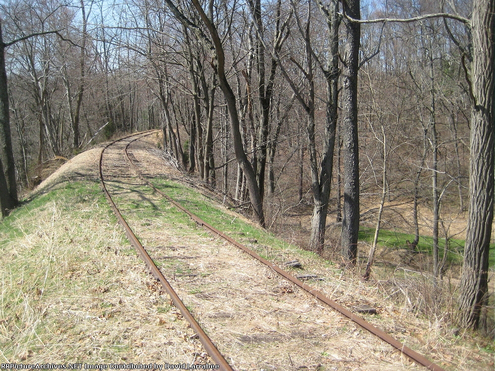
| At its highest the water in the stream below is about 35 to 40' below the track. /DL |
| Date:
3/27/2010 |
Location:
Anstine, PA Map  |
Views:
187 |
Collection Of:
  David Larrabee
 |
|
Author: David Larrabee
|
 |
| Picture Categories: Bridge,Station,Track |
This picture is part of album: Running on the Stewartstown |